Ben Rinnes
Ben Rinnes is the highest freestanding mountain in Moray at 2733ft (841 metres), and is classified as a ‘Corbett’ – a summit lying between 2500ft and 2999ft.
- Hill Walk
- Moderate
- 5 miles (8 km)
- 548 meters (1797 ft)
- 3 hour(s)
- Aberlour, Ballindalloch, Dufftown, Edinvillie
- Unsuitable for wheelchairs and buggies
- Defined hill path
- Slopes throughout
- Unsigned
Report a route change
If you have followed this route and noticed any differences please report a route change by sending an email to:
Send us a GPX track
We would like to offer GPS tracks of all routes on this site.
If you are able to help please create a GPX track of this route (no detours) and send it to us for inclusion.
Gallery
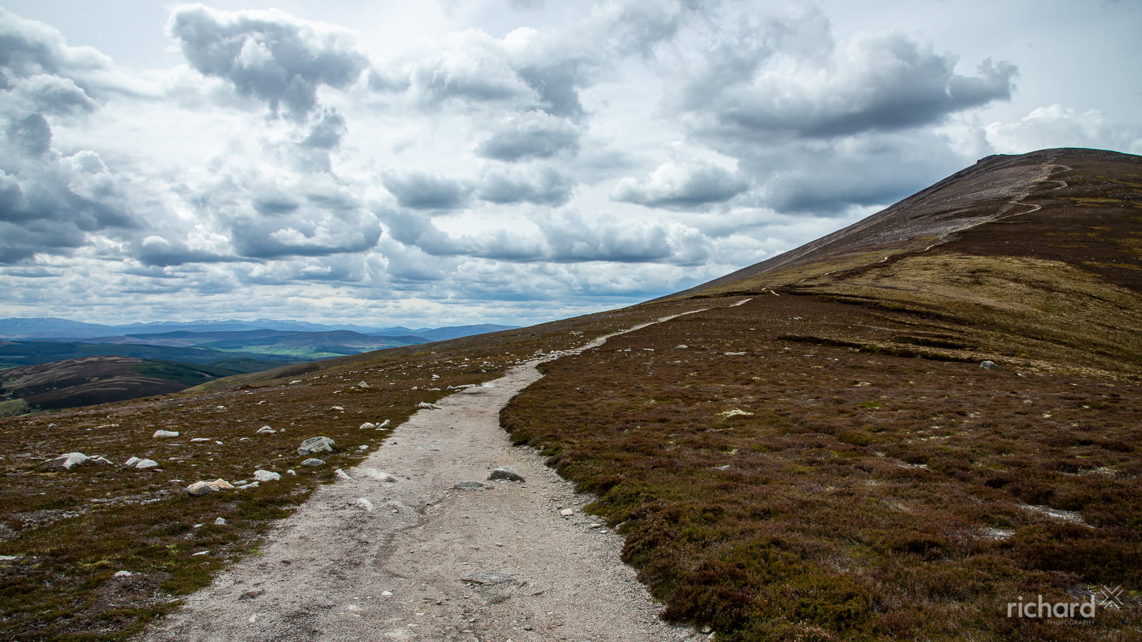
Ben Rinnes can be climbed from several start points.
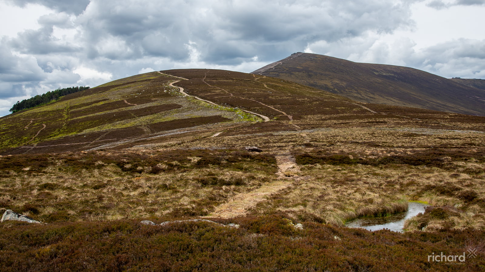
The most obvious and straightforward route starts at the small car park in the ‘Beatshach’, the coll between Ben Rinnes and the Convals. From here a track, then a built path, lead you steadily uphill all the way to the summit. Leave around 2 hours for the ascent, more if you are not as fit as you might be!
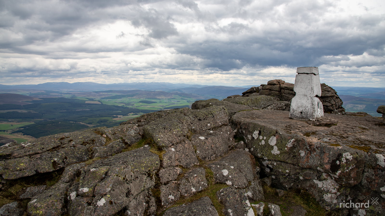
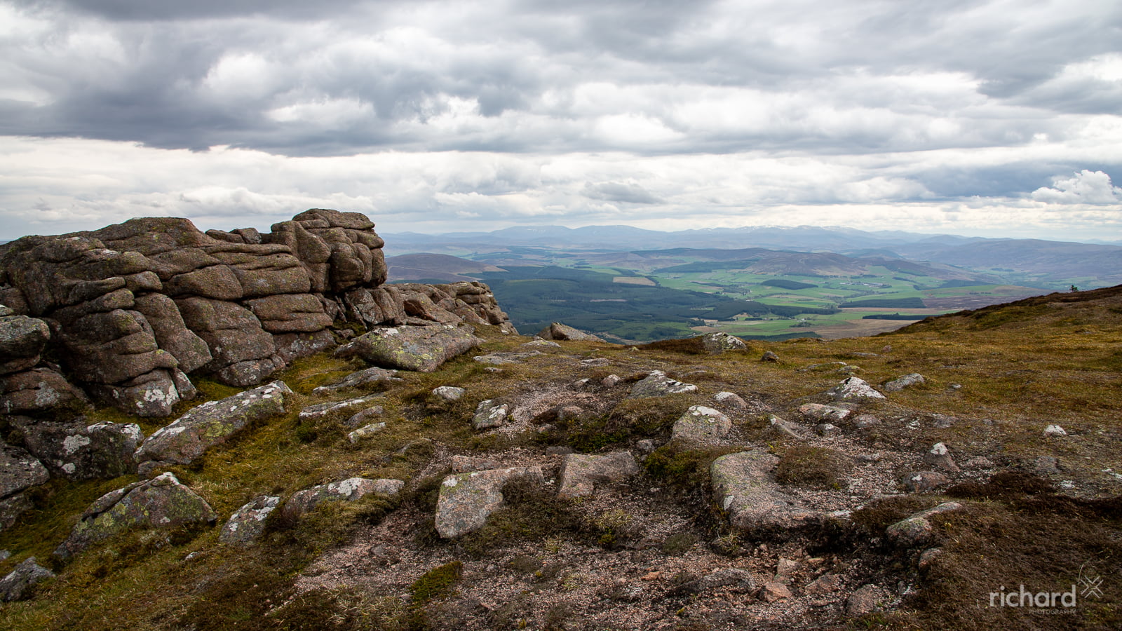
The ‘Ben’ can also be accessed from a track leading uphill from the Ben Rinnes distillery. This track goes to ‘Babby’s Moss’, (wrongly called ‘Baby’s Hill’ on the OS map) so called after a local lass by the name of Barbara was buried there in the days when suicide victims could not be buried in consecrated ground. From the old peat workings, head across open and in places boggy ground towards the big rocky tor (Scurran of Well on the OS map). On reaching the tor (climb up to the west of the rocks), pick a line across the summit plateau to ‘Scurran of Lochterlandoch’, the summit of Ben Rinnes.
If you want to make a circuit, combine these routes and regain your start point by using the rather rough and stony track, marked on the online map, which follows the base of the north slopes of the hill.
Mountain safety
Ben Rinnes is a high and exposed summit, subject to mountain weather conditions. Make sure that you are well equipped with spare warm and waterproof clothing, stout footwear and food. Carry a map and know how to use it, particularly if you intend venturing off the built path to the summit, or in winter or poor visibility when the path may not be obvious.