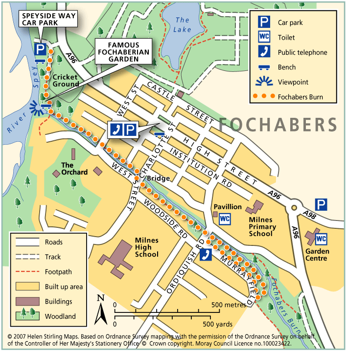
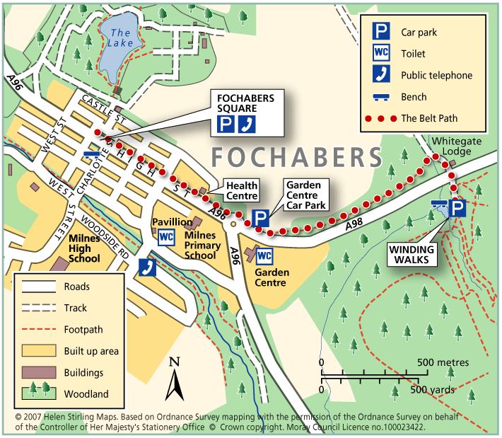
Fochabers – Behind the Green Door
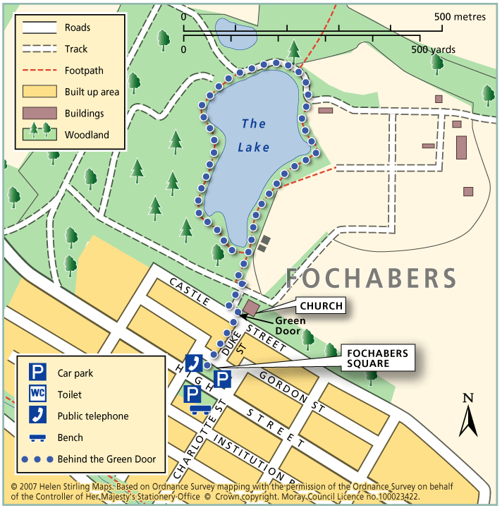
This is a very picturesque and sheltered circular walk around a lake in the quiet and traffic free grounds of Gordon Castle. It is along a good, narrow track which can be a bit muddy in wet weather so wear appropriate footwear. Children love this walk, remember to take food for the ducks!
- Accessible Walk, Health Walk
- Easy / Level 1
- 0.75 miles (1.2 km)
- 15 minutes
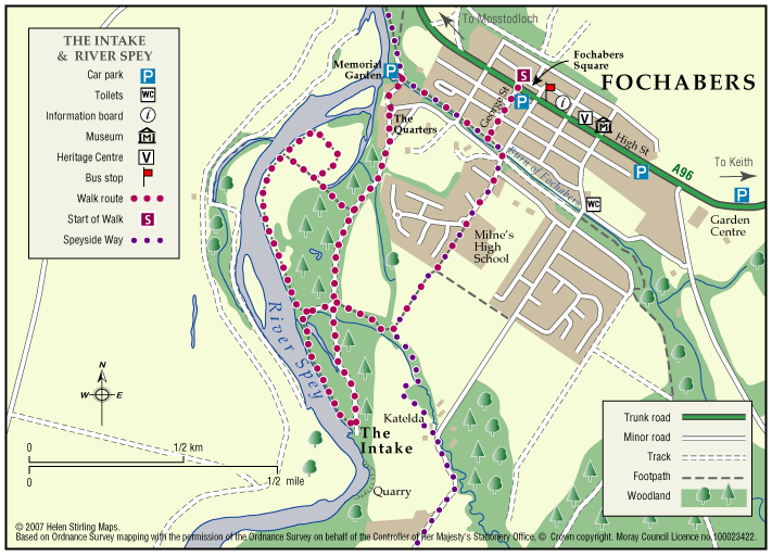
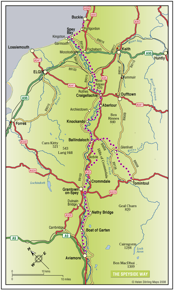
- Fochabers
- Accessible for all users
Terrain: Gravel path
Can be muddy when wet.
- Generally level