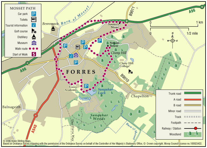
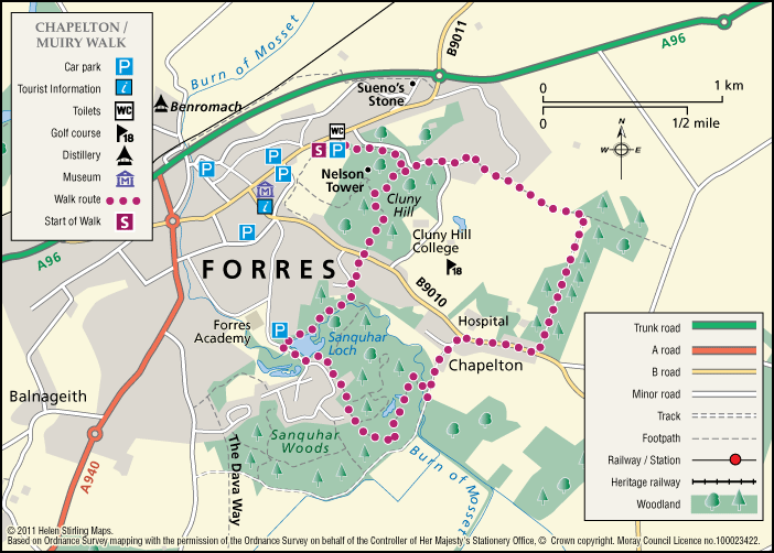
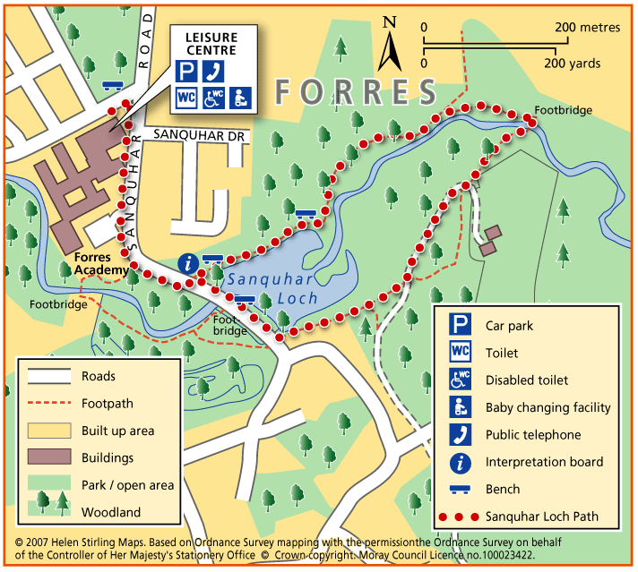
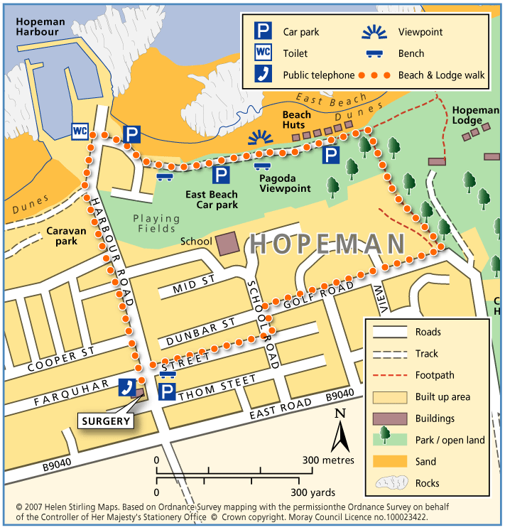
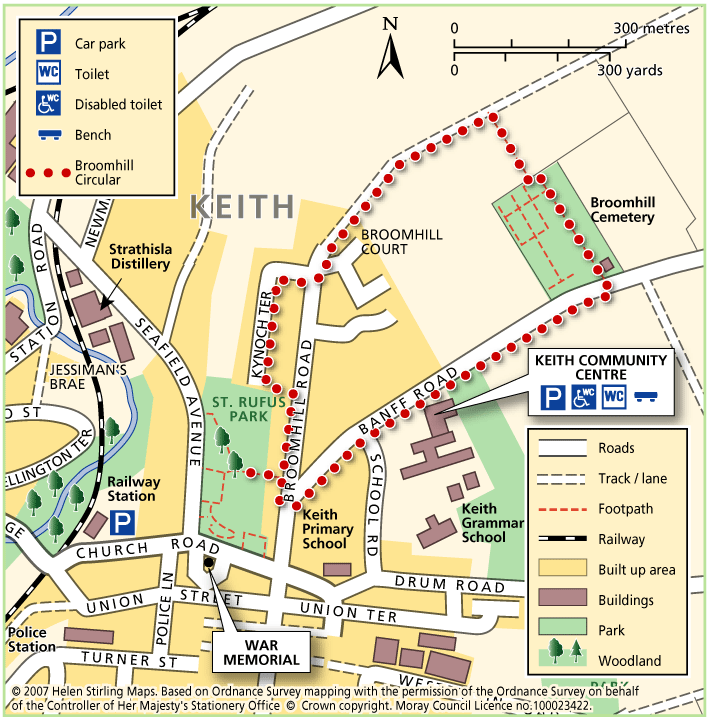
Forres – Mosset Burn
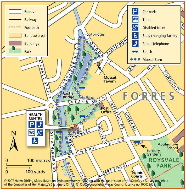
This is a very pleasant walk with trees, flowerbeds and birds. The paths are all good although if it has been very wet they may be a little muddy in places. There are places to sit and rest throughout the walk. You’ll need to take care crossing over Bridge Street.
- Accessible Walk, Health Walk
- Easy / Level 1
- 0.75 miles (1.2 km)
- 15 minutes
- Forres
- Accessible for all users
Terrain: Paved footpaths & roads
Gravel footpaths can be muddy.
Gradient: Generally level
Mainly level but some downward slopes through park.